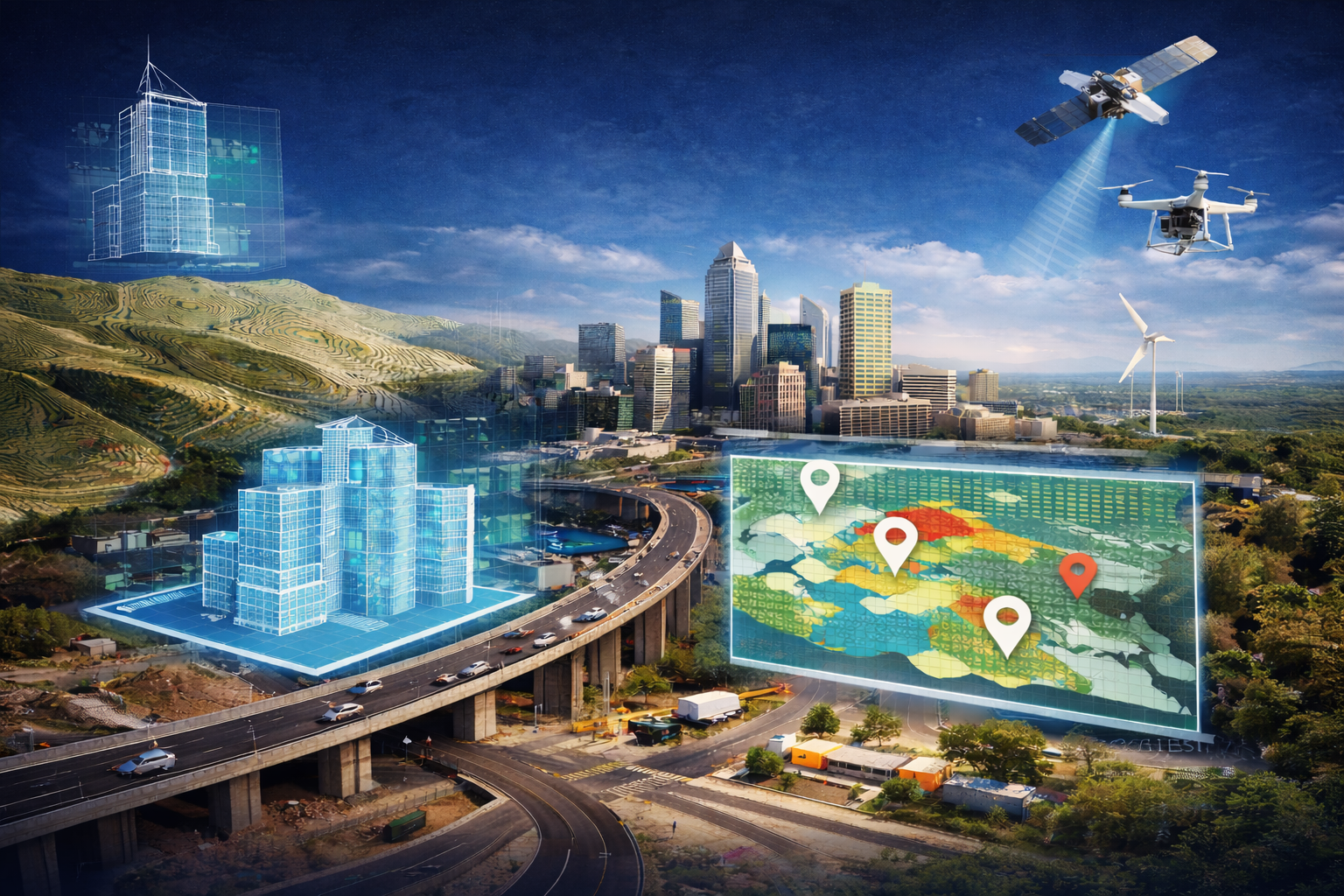
Urban planning is a process of design and management of city spaces for sustainable development, effective infrastructure, and quality living for people. It involves land use planning, infrastructural growth, environmental stewardship, and a future vision. The Middle East has seen consecutive years of high urbanization and population growth in recent years, and all these have been centered in Dubai, Riyadh, Doha, and Abu Dhabi. This change has an increased emphasis on developing smart cities, and technology and data usage. These are being used to improve urban services, resource utilization, and sustainability. BIM and GIS integration in urban planning has become an emerging solution to address the challenges of urban planning in the contemporary world. BIM provides accurate 3D models of buildings and infrastructure while GIS provides geolocation and spatial analytics for urban planning. Integration of GIS and BIM allows planners and decision-makers to visualize, simulate, and optimize urban development at any scale.
What is BIM and GIS Integration?
What is BIM (Building Information Modelling)?
BIM refers to a digital representation of the physical and functional characteristics of a building or an infrastructure. It has accurate 3D models and information like material, cost, and maintenance. It is similar to a blueprint used by architects, engineers, and contractors to build, plan, and design buildings more efficiently.
What is GIS (Geographic Information System)?
In today's world, planning and decision making depends upon how well we understand the spaces we live in. GIS is not just a tool for creating maps, but also acts as a digital lens through which planners can view and interpret information related to specific locations. It helps you visualise complex problems, often revealing connections that would otherwise be overlooked.
What Happens When BIM and GIS Work Together?
BIM and GIS integration in urban planning allows city planners to combine detailed building models with geographic data. While GIS gives a broad understanding of the external environment, BIM explores the details of a specific building or infrastructure. Imagine designing a bridge and seeing how it fits into the landscape, how it connects the roads, how the land or water flow in the area is impacted. This is what happens when BIM and GIS are integrated.
Why Integration Is Better Than Using Each Tool Individually
BIM alone gives detailed building components but lacks a locational and environmental background. GIS offers detailed spatial analysis but doesn't include detailed building components.
Together they:
1.Increase design accuracy
2.Supports city planning and smart city construction
3.Facilitates infrastructure resilience and sustainability
4.Allows stakeholders to plan and administer projects more efficiently
Challenge in Urban Planning in the Middle East
Rapid Population Growth
The population of the Middle East has increased due to high birth rates and immigration, especially in the urban areas. The pace of population growth places huge pressure on the city planners to provide adequate housing, transportation, medical care, and education. When such speedy growth is happening and there is no planning in the long term, the cities are left with overcrowded places, traffic jams, and damaged public utilities, and it becomes harder to attain sustainable urban development.
Climate and Environmental Issues
The area has harsh climatic conditions like high temperature, sandstorm, and minimal rainfall. The urban planners, in this case, have to cope up with rising temperatures that also increase the demand for cooling systems and lead to an increase in the energy demand. Desertification and air pollution also present health risks to the population and urban living conditions. Resilient infrastructure and green urban areas must be built but are challenging due to the harsh natural environment.
Water and Energy Needs
The Middle East is a region where water scarcity is a critical problem. Cities also are greatly dependent on desalinated and imported water, both of which require high energy and money. With population expansion and industrialization, the need for electricity keeps increasing, so city planners must provide safe access to water and energy while promoting sustainability via water conservation, renewable energy, and efficient systems.
Infrastructure Problems in Fast-Growing Cities
As Middle Eastern cities are getting bigger, the infrastructure in place falls short. The streets, public transport, sewage, and waste management services are old or inadequate for the new population. Urbanization at this pace without proper infrastructure to accompany it results in inefficiency, congestion, and a diluted quality of life. Urban planners are required to balance these aspects against scope for future expansion and technological advancements.
How BIM and GIS Integration Benefits
Better Planning and Design
With the merging of BIM's precise building models and GIS's geographic context, planners will get an idea of building and the land. By combining the two systems, planners are better informed in making decisions based on how buildings link with its landscape, neighboring infrastructure, and environmental conditions. By planning with location intelligence and building detail, planners can plan for infrastructure that is harmonious with its environment. Roads can be better planned, public space can be better placed, and buildings can be better aligned to make them more accessible and benefit from the environment. Merging BIM and GIS reduces mistakes that are created while operating alone. For example, identifying utility lines or areas of flooding during the initial design stages eliminates rework, delays, and surprise costs during construction. It enables anticipating problems prior to occurrence.
Faster Project Approvals
GIS maps that are combined with 3D BIM models provide detailed, data-intensive visualization. It is easier for the stakeholders to understand the scope and impact of the project, thereby making the review process faster and efficient. Presentation of complex plans in a simple way facilitates the acceptability of the project by the public and regulatory approvals. The transparency achieved through this also builds trust and reduces approval time.
Sustainable Development
GIS enables land suitability analysis, environmental hazard, water resources, and other aspects. Such insights ensure development to occur in the correct location and in the correct manner and reduce environmental degradation. BIM enables accurate modeling of energy consumption, materials, and internal environments. Designers can model and optimize building performance and design buildings as efficiently and sustainable as possible. Combining BIM and GIS allows city plans to focus on green spaces, minimize pollution, and enhance smart mobility. Governments can attain their sustainability objectives as well as the quality of life.
Improved Collaboration
Working together permits everyone to view common models and information, minimizing misunderstanding and making coordination among departments and disciplines easy. Sharing updates, models, and maps with teams becomes easy with one platform and data model. It speeds up workflows, avoids redundant work, and makes sure everyone works with the latest information.
Future of Urban Planning with BIM and GIS Integration
With more smart cities being developed around the world, utilization of GIS and BIM will be important to managing urban systems. Along with these technologies and AI, real-time monitoring, predictive analytics, and city automation services like traffic control, power usage, and waste management become possible. Urban planners can model and analyze the long-term impacts of climate change such as sea-level rise, urban heat island, and flood hazard through BIM-GIS integration. GIS introduces powerful environmental data, and BIM models enable them to evaluate how buildings and infrastructure perform under future circumstances. Digital twin technology, virtual models of the actual city, heavily depends on integrating BIM and GIS. Real-time sensors and IoT-enabled digital twins enable city planners to visualize, track, and simulate cities as a whole. With the evolution of technology, digital twins will be essential tools utilized in efficient and sustainable management of complex urban systems.
BIM and GIS integration in urban planning offers a strong combination of building information and geographical context. It supports enhanced planning and designing with visualization of the impacts buildings have on their environments, which leads to smarter roadway designs, location of infrastructure, and land usage. Middle Eastern urban development faces special challenges like increasing population, weather extremes, shortage of water, and the necessity to develop and create world-class infrastructure as soon as possible. BIM and GIS integration provides planners with the means to overcome such challenges with improved, decision-making based on data.
Dsquare Global is a IT and consultancy firm with a strong commitment to integrate technology to help organisations and to lead them in the digital world. Dsquare Global specializes in designing BIM and GIS strategies and creating 3D city models to support smart-city initiatives.